
Datasets
Datasets curated through my research.
Datasets curated through my research.
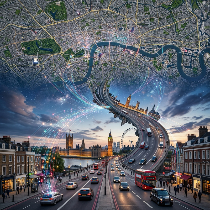
Image Geolocalization, Autonomous Navigation, Image Synthesis
A large-scale benchmark supporting multiple tasks including image geolocalization, autonomous navigation, and image synthesis, featuring 1.58 million matched ground-to-aerial image pairs.
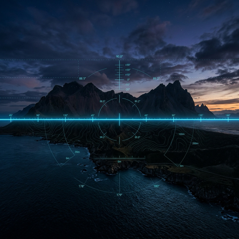
Large-Scale Geometric Scene Understanding
A large-scale dataset of natural images annotated with horizon line positions, designed for training and evaluating geometric estimation methods.
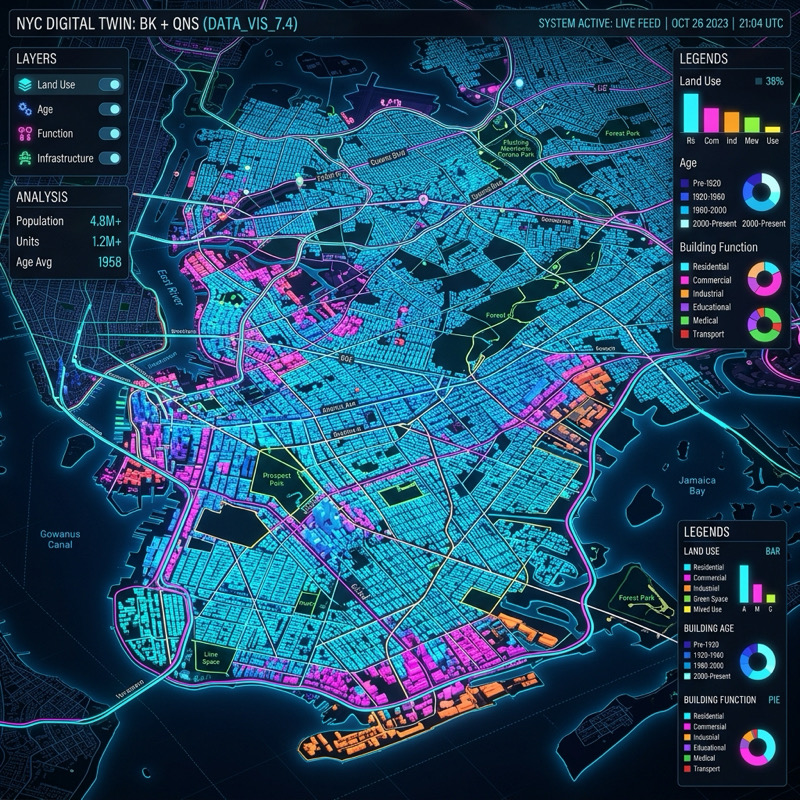
Near/Remote Sensing
A large-scale dataset for urban semantic segmentation, featuring paired high-resolution overhead and ground-level street-view imagery.
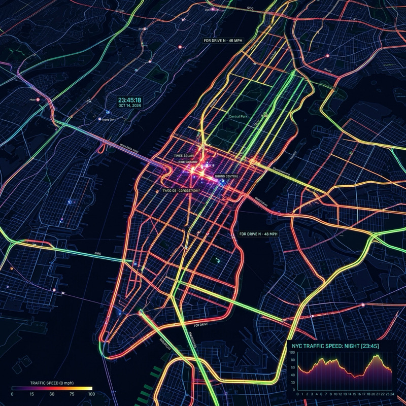
Multi-City Spatio-Temporal Traffic Modeling
A multi-city dataset linking high-resolution overhead imagery with historical traffic speed records for New York City and Cincinnati, supporting city-scale flow analysis and location adaptation.
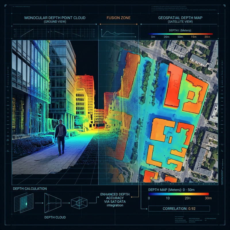
Geospatially Augmented Depth Estimation
A dataset for augmenting monocular depth estimation with geospatial context, combining ground-level images with co-located overhead imagery and geographic metadata.
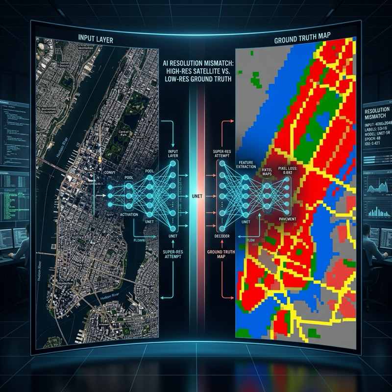
Handling Resolution Mismatch
A large-scale benchmark for studying resolution mismatch, featuring 1m/pixel overhead imagery paired with coarse 30m/pixel ground-truth labels across 100,000 square miles.
Ground-level and overhead imagery linked with temporal metadata for learning dynamic maps of visual appearance.
Dataset for mapping perceived natural beauty from ground-level and overhead imagery.
Webcam images annotated with pixel-level sky masks for sky segmentation in the wild.
Images extracted from high-school yearbooks for analyzing temporal patterns in human appearance.
Geo-tagged image dataset for studying the location dependence of CNN features.