Horizon Lines in the Wild
Large-Scale Geometric Scene Understanding
A large-scale dataset of natural images annotated with horizon line positions, designed for training and evaluating geometric estimation methods.
Total Images
100,553
SfM Models
185
Augmented
500,000+
Citations
140+

Reference Publications
Papers that introduced this dataset
Horizon Lines in the Wild
Scott Workman, Menghua Zhai, and Nathan Jacobs
Dataset Details
Technical specifications
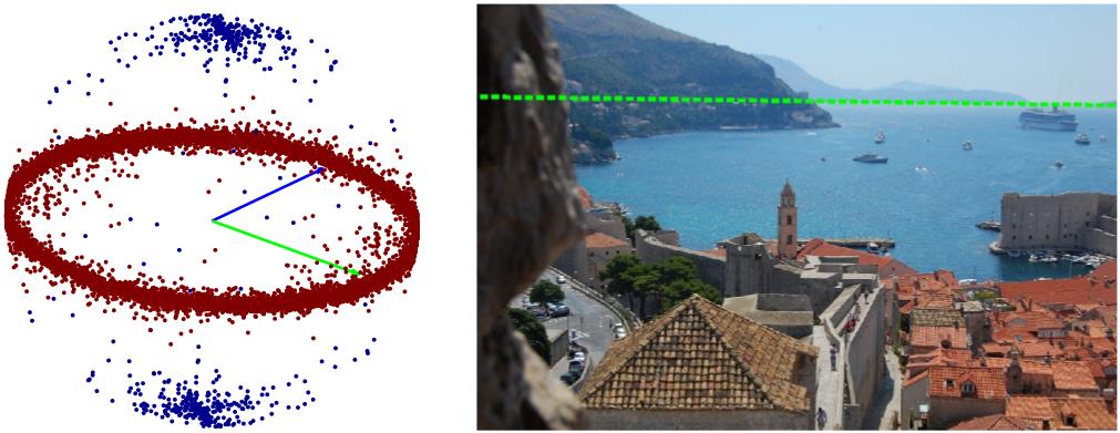
The Horizon Lines in the Wild (HLW) dataset was introduced to address the limitations of existing geometric benchmarks, which were often too small or restricted to Manhattan-world assumptions. By leveraging Structure-from-Motion (SfM), the benchmark provides over 100,000 high-quality images with automatically validated horizon lines derived from sparse 3D point clouds. HLW serves as a rigorous standard for training and evaluating single-image horizon line estimation methods, implicitly combining semantic and geometric cues without the need for manual feature tuning or explicit vanishing point detection.
Dataset Features
SfM Ground-Truth
- Sources: Derived from the 1DSfM, Landmarks, and YFCC100M datasets.
- Validation: Manually verified global horizon planes, then projected back into image pixels.
GSV Auxiliary Set
- Scale: 50,000 geocalibrated Street View panoramas sampled from 93 metropolitan areas.
- Sampling: 500,000+ rectilinear cutouts georeferenced to yield ground-truth horizon line parameters.
Contextual Diversity
- Scene Scope: Natural vistas to urban corridors, moving beyond Manhattan-world assumptions.
- Composition: Collections of diverse land-type vignettes including forests and industrial parks.
Benchmark Evaluation
- Baseline: 2,018 held-out evaluation images spanning all SfM models.
- Utility: A rigorous, large-scale alternative to the legacy ECD and YUD benchmarks.