HoliCity-Overhead
Geospatially Augmented Depth Estimation
A dataset for augmenting monocular depth estimation with geospatial context, combining ground-level images with co-located overhead imagery and geographic metadata.
Area
20+ km²
Resolution
1m (DSM)
Source
London, UK
Year
2021
Reference Publications
Papers that introduced this dataset
Augmenting Depth Estimation with Geospatial Context
Scott Workman, and Hunter Blanton
Dataset Details
Technical specifications
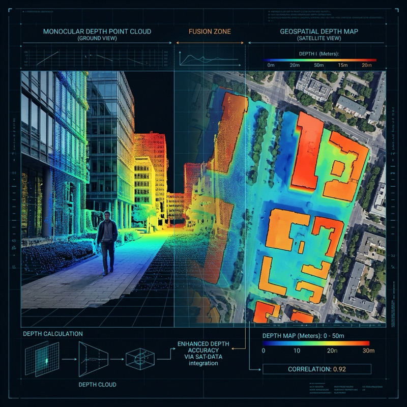
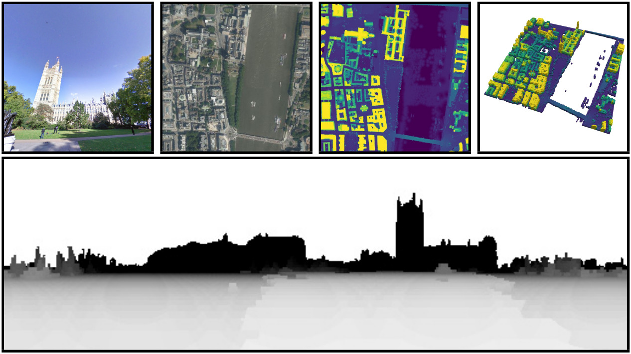
The HoliCity-Overhead (HCO) dataset was introduced to support the new task of geo-enabled depth estimation, which leverages geospatial context to resolve the scale ambiguity inherent in monocular vision. As an extension of HoliCity, the dataset was used to illustrate that when a camera’s location is known, co-located overhead imagery can be used to anchor a scene’s scale—overcoming the sparsity and long-range precision limitations of active sensors like LiDAR. HCO provides a city-scale framework for fusing ground-level panoramas with overhead imagery and digital surface models (DSMs) to achieve absolute metric depth estimates, significantly reducing errors at large distances—up to several kilometers.
Dataset Features
City-Scale Extent
Covers over 20 km² of downtown London, providing dense urban structures and diverse architectural styles for large-scale evaluation.
Multi-Modal context
Pairs registered ground-level images with overhead satellite imagery and high-resolution digital surface models (DSM).
Metric Depth Labels
Provides absolute distance labels in meters, resolving the scale ambiguity issues inherent in monocular vision tasks.