Brooklyn & Queens
Near/Remote Sensing
A large-scale dataset for urban semantic segmentation, featuring paired high-resolution overhead and ground-level street-view imagery.
Overhead Images
53,000+
Panoramas
175,000+
Tasks
5
Citations
100+
Reference Publications
Papers that introduced this dataset

Revisiting Near/Remote Sensing with Geospatial Attention
Scott Workman, M. Usman Rafique, Hunter Blanton, and Nathan Jacobs
A Unified Model for Near and Remote Sensing
Scott Workman, Menghua Zhai, David J. Crandall, and Nathan Jacobs
Dataset Details
Technical specifications
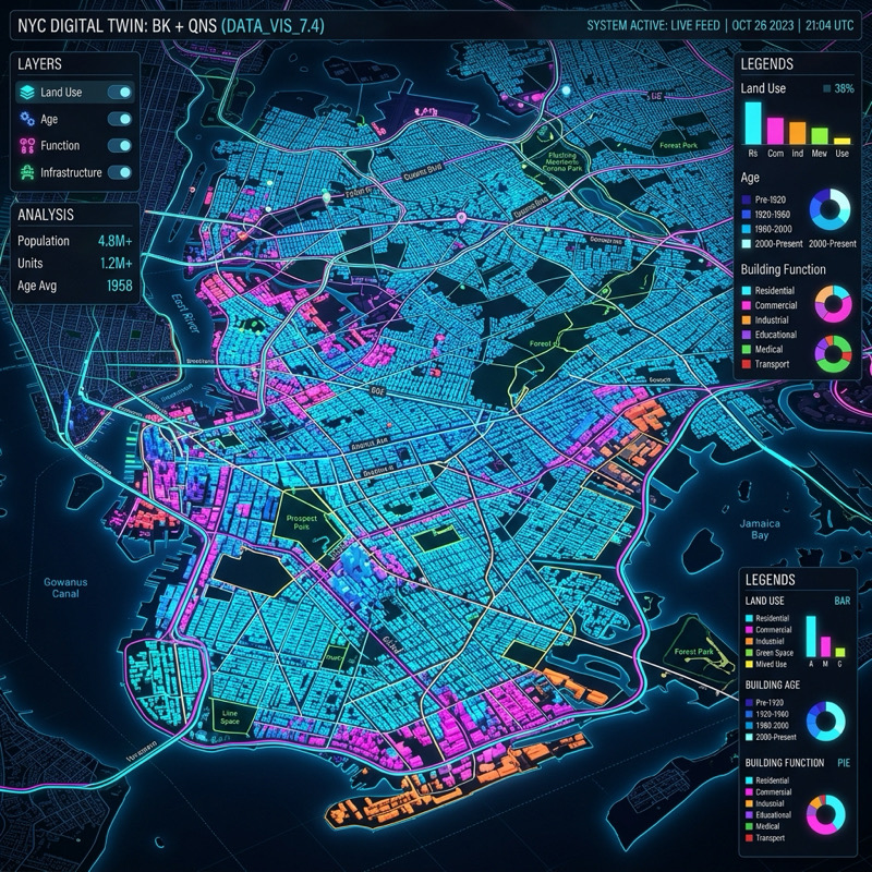
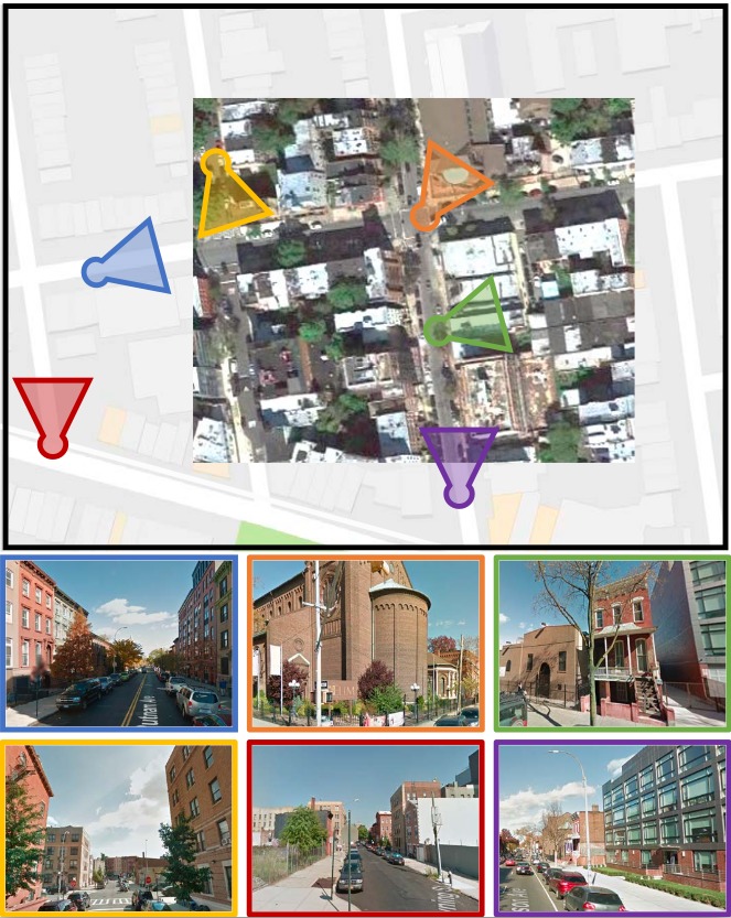
The Brooklyn & Queens (B&Q) dataset was established to support the task of near/remote sensing—the joint inference of geospatial functions from co-located overhead and ground-level imagery. By combining the dense coverage of high-resolution overhead imagery with the semantically rich details of street-level panoramas, the dataset enables the creation of high-precision maps for urban properties that are often ambiguous from a single perspective. Originally introduced for urban semantic segmentation, the dataset was later extended to include additional per-pixel labeling tasks, including physical metrics derived from LiDAR, providing a city-scale benchmark for multimodal urban analysis.
Dataset Features
Remote Sensing
- GSD: ~30 cm ground sample distance (Bing Maps Zoom 19).
- Coverage: 53,000+ dense overhead image tiles across NYC.
Proximate Sensing
- Format: Full 360° Equirectangular Street View panoramas.
- Scale: 175,000+ panoramas georeferenced to overhead tiles.
LiDAR Extension
- Source: 2017 topographic/bathymetric LiDAR capture.
- Metrics: Derived per-pixel height and 6-inch land-cover.
Joint Modeling
- Scope: Supporting research into joint inference over co-located image pairs.
- Labels: 5 per-pixel tasks spanning semantic and physical categories.
The B&Q dataset features five labeling tasks that evaluate the impact of combining remote and proximate imagery for urban analysis.
Land Use
Classification of urban functional parcels (e.g., residential).
Building Function
Identifying societal purpose (e.g., educational, religious).
Building Age
Estimation of construction periods from municipal records.
Land Cover
8-class segmentation derived from 6-inch LiDAR data.
Building Height
Metric vertical estimation using Highest-Hit DSMs.