Dynamic Traffic Speeds
Multi-City Spatio-Temporal Traffic Modeling
A multi-city dataset linking high-resolution overhead imagery with historical traffic speed records for New York City and Cincinnati, supporting city-scale flow analysis and location adaptation.
Images
23,039 (1024²)
Coverage
New York & Cincinnati
Records
292M+ (NYC)
Resolution
0.3m / px
Reference Publications
Papers that introduced this dataset

Probabilistic Image-Driven Traffic Modeling via Remote Sensing
Scott Workman, and Armin Hadzic
Dynamic Traffic Modeling from Overhead Imagery
Scott Workman, and Nathan Jacobs
Dataset Details
Technical specifications
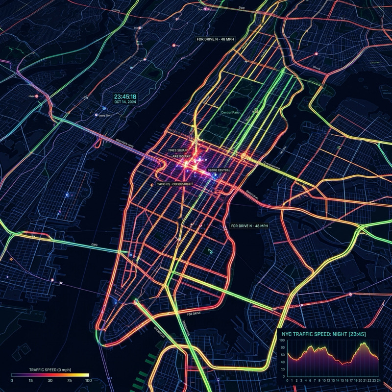
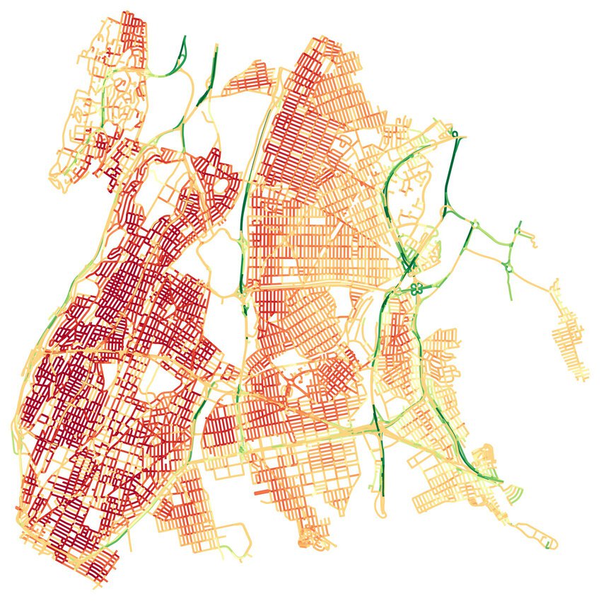
The Dynamic Traffic Speeds (DTS) dataset was introduced to support image-driven traffic modeling, a task that estimates spatiotemporal traffic patterns directly from high-resolution overhead imagery. As a city-scale benchmark, it pairs multi-year historical speed records from Uber Movement with co-located satellite imagery across major metropolitan areas. The dataset enables research into resolving the sparsity of traditional sensor networks by leveraging visual context—such as road geometry and lane density—to infer likely directions of travel and corresponding speeds. The extended version, DTS++, further incorporates a probabilistic objective function to model temporal variations and adds Cincinnati, OH as a second study area to specifically facilitate mobility-related location adaptation experiments.
Dataset Features
City-Scale Coverage
Pairs a full year of hourly speed records from Uber Movement with over 23,000 high-resolution image tiles.
Image-Driven Modeling
Infers local motion patterns from road geometry and density, resolving the sparsity of traditional sensors.
Uncertainty Modeling
DTS++ treats speed averages as distributions, incorporating measurement confidence based on observation density.
Location Adaptation
Benchmarks the transfer of learned mobility patterns from NYC to new urban layouts like Cincinnati.