ICCV 2015
Wide-Area Image Geolocalization with Aerial Reference Imagery
Scott Workman, Richard Souvenir, Nathan Jacobs
Abstract
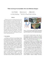
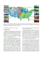
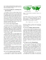
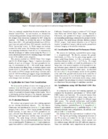
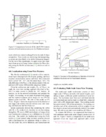
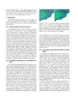
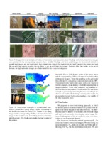
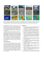
We propose to use deep convolutional neural networks to address the problem of cross-view image geolocalization, in which the geolocation of a ground-level query image is estimated by matching to georeferenced aerial images. We use state-of-the-art feature representations for ground-level images and introduce a cross-view training approach for learning a joint semantic feature representation for aerial images. We also propose a network architecture that fuses features extracted from aerial images at multiple spatial scales. To support training these networks, we introduce a massive database that contains pairs of aerial and ground-level images from across the United States. Our methods significantly out-perform the state of the art on two benchmark datasets. We also show, qualitatively, that the proposed feature representations are discriminative at both local and continental spatial scales.
Document Preview
Paper thumbnails
Project Details
Supplementary content
Video Spotlight
Citation
BibTeX entry
@inproceedings{workman2015wide,
  author={Scott Workman and Richard Souvenir and Nathan Jacobs},
  title={{Wide-Area Image Geolocalization with Aerial Reference Imagery}},
  booktitle={{IEEE International Conference on Computer Vision (ICCV)}},
  year={2015}
}